


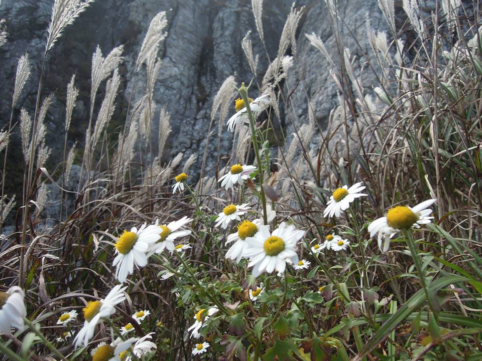
After a seasonal hiatus in respect of sporting fixtures on weekends and travel trips over the spring and summer it is rapidly reverting to ideal hiking conditions in the Republic of Korea. As the weather cools and the leaves begin to turn and fall I find myself being drawn back to the escapist attractions of the Korean mountains. My return to the rocky tree-shrouded country landscape began on Hangeul Day (national holiday for the celebration of the Korean writing system) at Gajisan, a mountain that narrowly wins the honour of being the highest in the Yeongnam Alps, an area that I had heavily explored during the last winter.

I invited my Korean friend Mia along for the hike and we met in northern Busan at Myeongnyun station just after nine o’clock to catch the number 12 bus to Eonyang, a small town to the east of the Yeongnam Alps. I’ve taken the number 12 bus before and it was equally slow as before as it trundled out of Busan into Yangsan and then snaked its way slowly between the villages that lie north of Yangsan. When we eventually arrived in Eonyang around an hour and a half later our patience for public buses was stretched and we jumped in a taxi. Our taxi ride took us to the gates of Seongnamsa (or Seoknamsa as it should be romanized from the Korean 석남사). After readying ourselves we headed to a car park to the left hand side of the main entrance gate where a path began that would take us along a counter-clockwise route to the peak of Gajisan. As we passed a large group of hikers in the car park Mia immediately almost stood on a snake that slithered across the beginning of the path.


The route begins with a relatively shallow ascent and gradually steepens until the point that trail gives way to slightly more technical, partially eroded, and rocky route. Personally I found the whole route relatively easy but many of the hikers we passed were increasingly fatigued as we passed them. Mia also found the going a little tough and was generous enough to curse me repeatedly for bringing her along. A heap of verbal motivation and my adamance that it wasn’t so severe as some of the other routes in the Yeongnam Alps may or may not have helped. I was also rebuked for falsely advertising the actual peak. As sky gave way to rock and treeline I was vocal in my expression that ‘it’s not far now’ only to clamber upon a false peak with an ascent and a further climb to the actual peak visible another kilometre away.


The final climb brought us to the top of the 1240m peak but this was not even halfway through the actual hike, I chose not to mention this to my friend. At the top of Gajisan, on what was a warm and mostly clear autumn day, we were greeted with an incredible view across all directions. Mountain peaks and receding horizons contrasted with the bright blue sky as far as we could see. After queuing with other hikers for some mandatory photos we began the hike that followed the ridge north before stopping for a snack on one of the notable rocky outcroppings that overlooked the view towards Ulsan in the east.


The undulating ridge trail lasted for a few kilometres before we began the knee-bursting descent. Although not particularly steep it was certainly relentless with few plateaus. The ground was skiddy, the dried and crumbling mud providing a surface that required cautious attention. It was quite a relief to reach the outside grounds of the temple, neither of us had much desire to look inside and we followed the exit road to the main entrance gate and then crossed over to a small bus station. We had decided on our descent that we did not relish the long journey on the number 12 bus from Eonyang back to Busan so we decided to catch a bus from outside the temple to Ulsan KTX station and then take the rapid KTX service back to Busan. At the KTX station we even had twenty minutes to grab some cheap Korean food to fill our grumbling stomachs.
 On reflection this is a good hike, it only takes in one remarkable peak and can be accomplished in half a day if you can keep a good pace up. The views from the summit are quite breathtaking, as much of those in the Yeongnam Alps are, if you are interested in the route we took you can check the GPS recording here: http://www.mapmyhike.com/workout/760095549 I am of the understanding that you can turn this into a longer hike that ends in Unmunsa a temple to the north-east although I think you would have to then travel to Miryang to find any suitable transport to any of the respective cities in the region.
Recent comments